<%@LANGUAGE="JAVASCRIPT" CODEPAGE="1252"%> Astro_Meteors


Evanescent Light
Photographs of the Cosmos by Ian Parker

Clicking on the underlined text legend below any of the images in the galleries will open a copy in a new tab, sized to 1000 pixels in width or height. Use your browser BACK button to return you to the gallery. If you find a picture you like you can download the image at full original resolution by clicking on the gallery lmage itself. To save a downloaded image, right click on it and scroll to 'save picture as...'. To use an image as your desktop background, right click and scroll to 'set as background...'.

Visitors are welcome to download images for personal use (e.g. as computer desktop wallpaper). Click HERE to order prints online. Please contact Ian Parker at evanescentlightphotography@gmail.com regarding possible commercial use. Details of copyright, image use and licensing are HERE.


ASTRO HOMEPAGE
Evanescentlight Landing Page
Evanescentlight Photography
 
Astro Essays
 
New Images
 
Emission Nebulae
 
Reflection Nebulae
 
Dark Nebulae
 
Galaxies
 
Planetary Nebulae
 
Star Clusters
 
Supernova remnants
.
Meteors
 
Comets
 
Milky Way / Terrestrial
 
Eclipses


Auroras
 
 
GEAR
 
Archive
 
 
Visitors since 2006


EditRegion3
 

Solar & Lunar Eclipses

Total solar eclipse of August 12th 2926, viewed from Scoresby Sound, East Greenland.


Total Solar Eclipse over the Ocean Sherpa in Scoresby Sound, East Greenland; 08/12/2026

The path of the August 12, 2026 total solar eclipse tracked across Greenland and Iceland, before heading out across the Atlantic ocean and eventually traversing Spain just before sunset. For Anne and I, that was a nice excuse and motivation to plan another visit to Arctic locations. Iceland was the less attractive possibility; both because the total eclipse brushed only the westernmost peninsulas (Reykjanes, Snaefellsnes and Westfjords) which were likely to be inundated with tourists, and because of the typical overcast and raining Icelandic weather. On the other hand, the eclipse path passed directly over Scoresby Sound in eastern Greenland, a remote location that we had greatly enjoyed on a previous visit, and which boasted a statistically higher probability of clear skies.

After 10 days touring Iceland and the northern island of Grimsey,  we boarded a small plane at Keflavik to take us to the airport (a gravel airstrip,..) at Constable Point, where we would board our small boat to venture in to the Sound. A good decision, as all viewing locations in Iceland ended up being socked-in under heavy cloud.

Our trip through Scoresby Sound was organized by the excellent Israeli photographer, Erez Marom, who had chartered a small (12 passenger) top-sail schooner some six years in advance – largely, I think, as a way to see the eclipse himself from a remote and spectacular location.  That arrangement led to some confusion and last-minute changes in plan as Erez had never previously visited Scoresby Sound (unlike most photography-oriented tours where the leader has extensive experience of the location) , and it turned out the this was only the second visit for our Captain.  But all turned out well in the end!

From the airport at Constable  Point  we walked a mile along the coastline (passing dozens of containers of drilling equipment unloaded without permission by an Americal oil company) to board Zodiacs that would take us and our baggage out to our schooner, anchored offshore. The Ocean Sherpa, our home for the next week, was crewed by a single family, plus chef, Charlie, and provided comfortable if cramped accommodation for 12 avid photographers together with my wife Anne, in her role as a photographic elf. 

For our first day in the  Sound, the largest fjord system on Earth, we experienced blue skies and sunshine while visiting a glacier with towering waterfalls and zigzagging between icebergs. All looked promising for the next day - eclipse day - when we moved into an arm of the fjord oriented almost exactly along the center line of the total eclipse/ The sky was clear at dawn and  Plan A was that we would have several hours to scout out an optimal location to view and photograph the eclipse above massive icebergs, preferably landing to provide a stable base for tripods. “Iceberg City” near Red Island was our original hope, but when we arrived there clouds had started to come in behind us from the south and looked like they would completely cover the sky by the time of the eclipse (~4:30 pm).

After much discussion between leader and captain and consideration of plans B and C, a decision was made to try to outrun the clouds – with engine full ahead, plus a little assistance by setting sails to take advantage of a tail wind. But this did mean that Iceberg City and other scenic sites were left far astern as we sped by, never to be revisited.

With less than a couple of hours to go before totality, and with the partial eclipse already underway,  the sun was still shining through mostly clear sky to the north west.  This was decreed to be the right time to stop, though not a terribly good place to stop, with little prospect of a landing given limited time and absence of adjacent beaches
.
Detailed plans involving tripods, star trackers and such like were thus necessarily abandoned. In any case, the main aim in coming so far as Greenland was to capture environmental images of the eclipse in the landscape, rather than close-up astro-photographs that could be shot anywhere on earth along the path of totality. In that regard, our stopping point was disappointing, lacking giant icebergs or towering close-by cliffs, with just a small, rather distant iceberg in view. To make the best of the situation I planned to use my drone to photograph, placing our schooner in the foreground to provide context and scale.

Most of our group were experienced drone photographers. I had been learning from them the skills of piloting a drone from a boat, which is appreciably more nerve wracking than on land.  A tall ship has lots of rigging to get tangled in, and little clear deck space from which to take off and land. Moreover, whereas the drone has GPS and can hover at a fixed absolute position, a boat does not, so landing involves careful adjustment of position and speed to match the boat’s drift
.  
As the sky darkened a few minutes before totality the overcast had started to extend over the sky, but the sun was still crisply visible through thin, high clouds. After a few nerve-wracking practices the previous day I had gained enough confidence to send up my drone. I pre-positioning  the drone to align an good composition between the boat, iceberg and sun and left it to hover in place. As the moon began to completely occlude the sun I switched to a  handheld camera with telephoto lens to shoot a zoomed-in burst sequence at the onset of totality, Coming back to look at the drone controller I found that the boat had indeed drifted and disrupted my composition, so I quickly repositioned and grabbed several exposure-bracketed shots. Then it was time to simply look and enjoy the experience of the eclipse for what remained of the two minutes of totality.


Telephoto shot during totality (handheld, 1/30s, f8, 135mm ISO 800). Because of high clouds the extent of the corona is ill defined, but I think the clouds actually enhanced the landscape photo beyond how a clear, blank sky would have looked . Solar prominances are very evident on both sides of the sun, accentuated perhaps because the apparent diameter of the moon was only slightly greater than that of the sun for this relatively short eclipse. By eye I had the impression of a complete red ring around the eclipsed sun, but that was not evident in photographs.


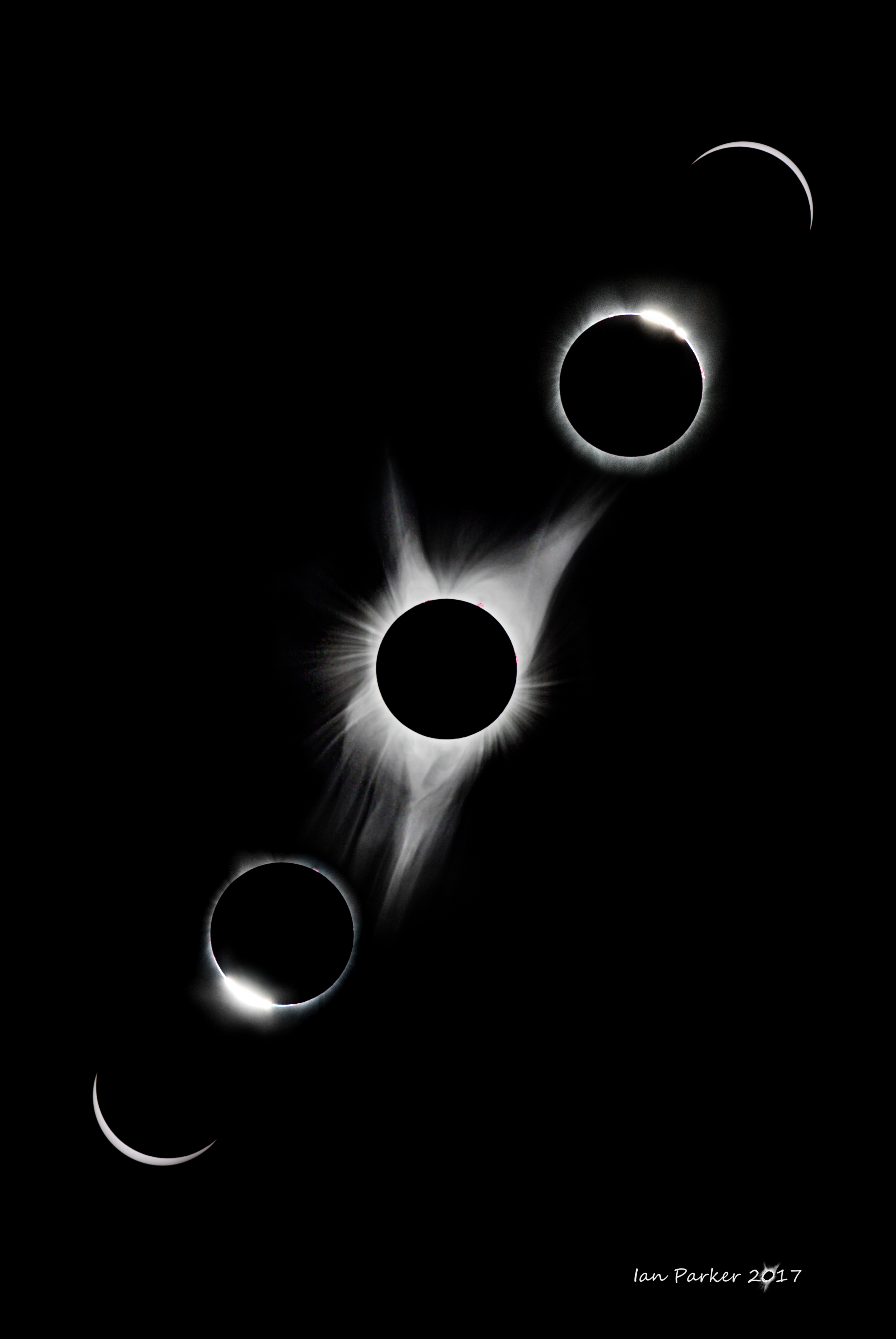
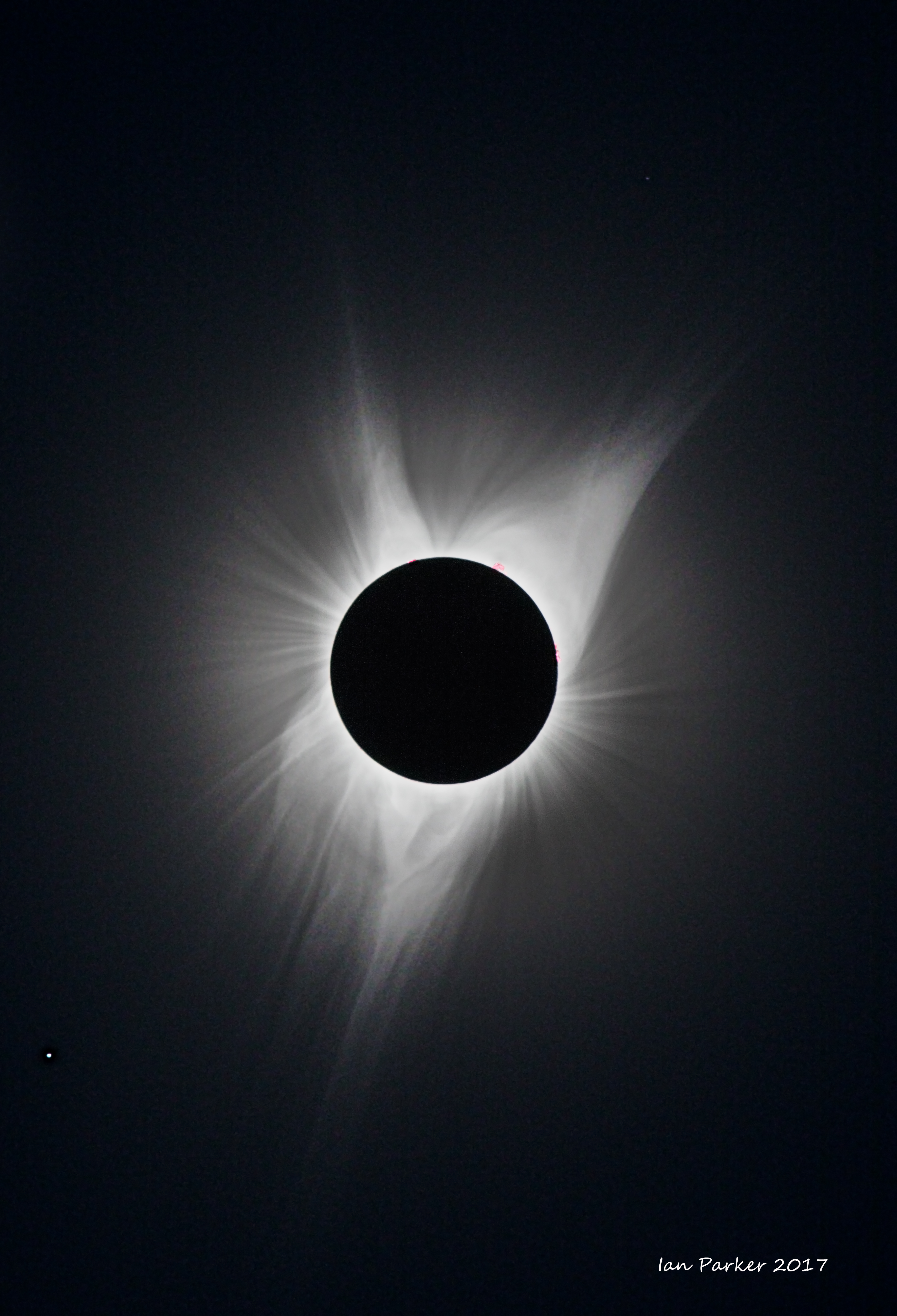
Total solar eclipse of August 21st 2017, viewed from Oregon.


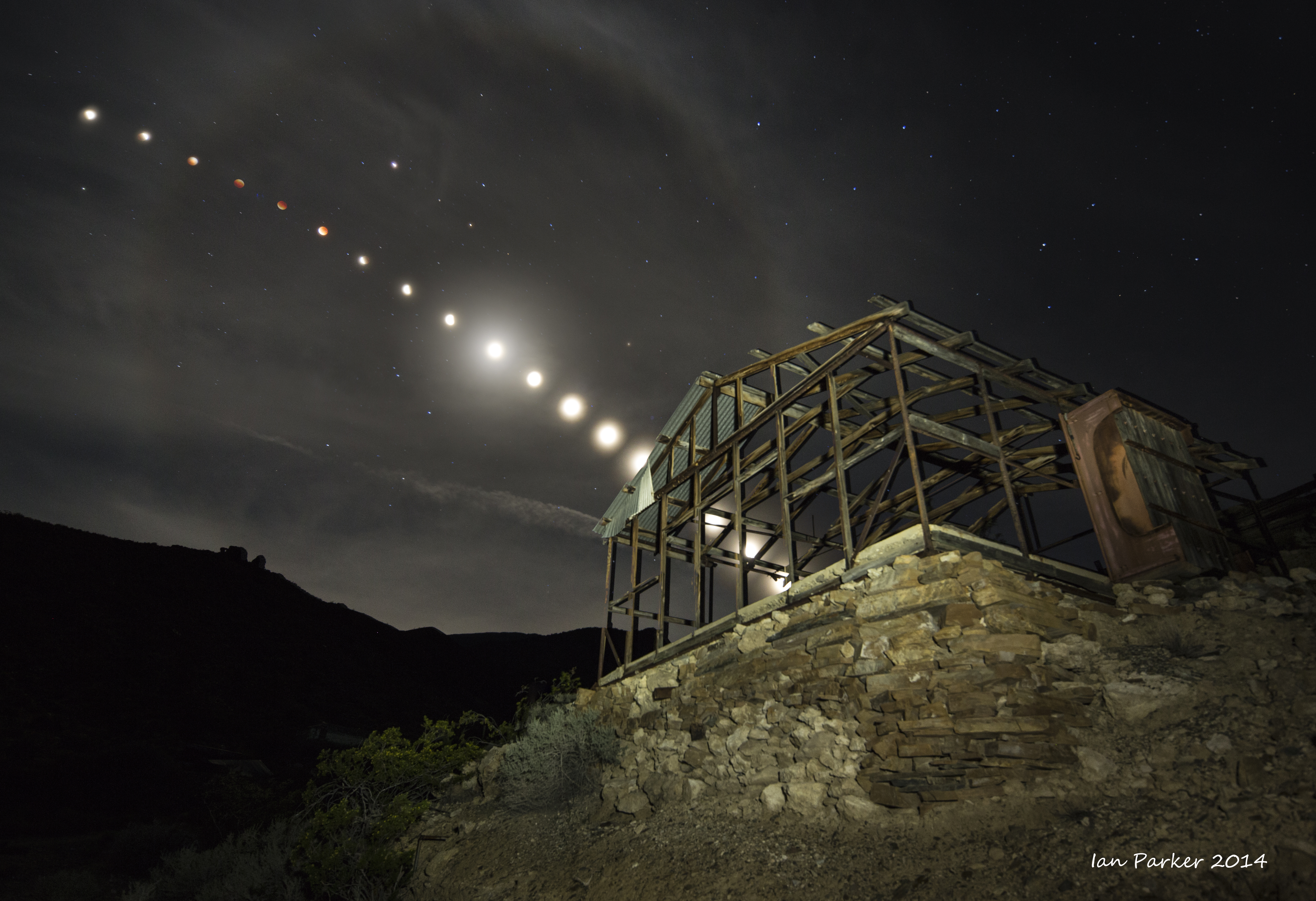
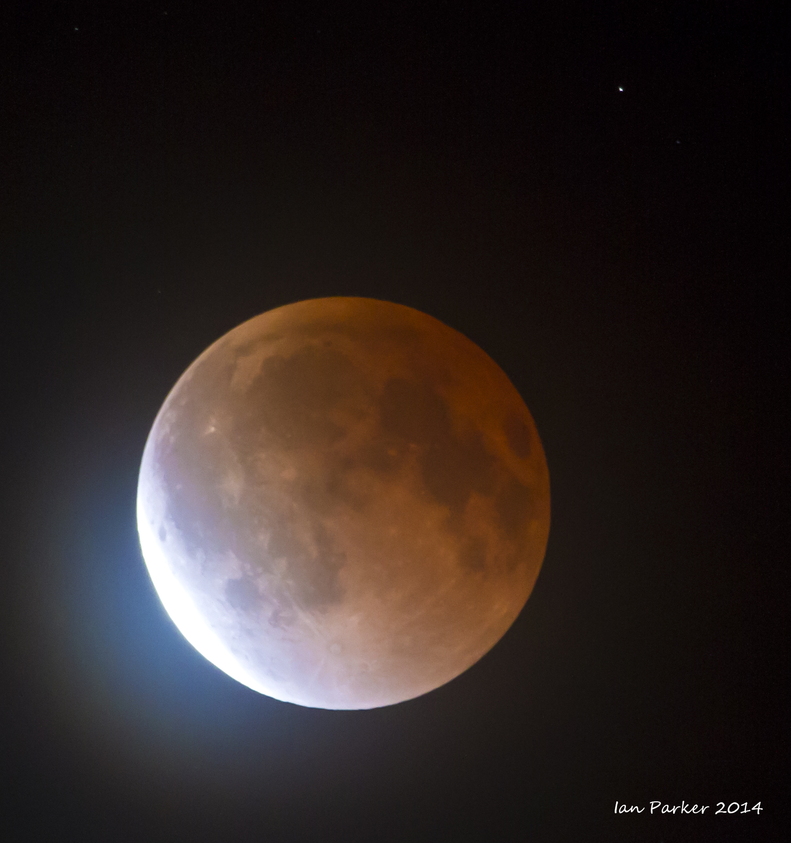
Lunar eclipses


Please send enquiries to evanescentlightphotography@gmail.com